
Saint-Jean-de-l'Île-d'Orléans topographic map
Interactive map
Click on the map to display elevation.
About this map
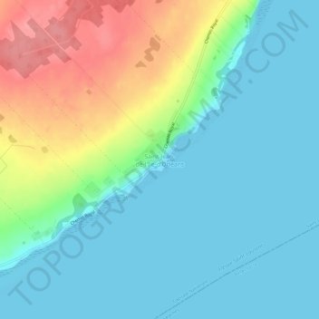
Name: Saint-Jean-de-l'Île-d'Orléans topographic map, elevation, terrain.
Average elevation: 82 ft
Minimum elevation: -3 ft
Maximum elevation: 285 ft