Geolocate

Penhook topographic map

Click on the map to display elevation.

About this map

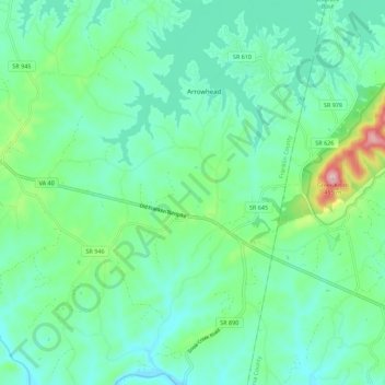
Name: Penhook topographic map, elevation, terrain.

Location: Penhook, Franklin County, Virginia, 24137, United States (36.94556 -79.66217 37.03415 -79.60299)

Average elevation: 889 ft

Minimum elevation: 686 ft

Maximum elevation: 1,604 ft

Franklin County trails, hiking, mountain biking, running and outdoor activities

Gear up for your next adventure:

Backpacking Tents - Weight-optimized shelters for multi-day topographic surveys
🏫Relief Map Kits - Hands-on tools for teaching landforms and elevation
🔋Solar Power Banks - Keep your GPS and phone charged in remote wilderness areas
🛏️Cold Weather Sleeping Bag - Warm sleeping bag for cold conditions
🔭Compact Binoculars - HD vision for scouting terrain and identifying distant landmarks

As an Amazon Associate, this site earns from qualifying purchases at no extra cost to you.