
Wonder Lake topographic map
Click on the map to display elevation.
About this map
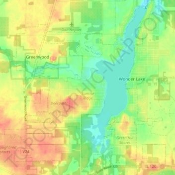
Name: Wonder Lake topographic map, elevation, terrain.
Location: Wonder Lake, McHenry County, Illinois, 60097, United States (42.35366 -88.39387 42.41108 -88.33367)
Average elevation: 860 ft
Minimum elevation: 781 ft
Maximum elevation: 938 ft
McHenry County trails, hiking, mountain biking, running and outdoor activities
Other topographic maps
Click on a map to view its topography, its elevation and its terrain.
Elizabeth Lake Nature Preserve
United States > Illinois > McHenry County > Twin Lakes
Average elevation: 820 ft