Geolocate

Toto topographic map

Click on the map to display elevation.

About this map

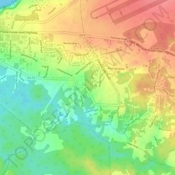
Name: Toto topographic map, elevation, terrain.

Location: Toto, Mongmong-Toto-Maite Municipality, Guam, United States (13.45884 144.77126 13.47576 144.78581)

Average elevation: 148 ft

Minimum elevation: 0 ft

Maximum elevation: 272 ft

Gear up for your next adventure:

🔦LED Headlamp - Bright and durable LED headlamp for night navigation
🔋Rechargeable Batteries - Power up your outdoor devices
Backpacking Tent - Lightweight and durable tent for multi‑day hikes
🧦Hiking Socks - Comfortable socks to prevent blisters on long hikes
🥄Camping Utensil Set - Lightweight utensils for outdoor meals

As an Amazon Associate, this site earns from qualifying purchases at no extra cost to you.