
Dudley topographic map
Click on the map to display elevation.
About this map
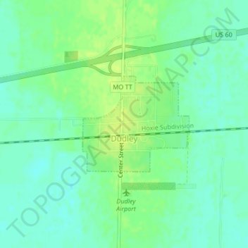
Name: Dudley topographic map, elevation, terrain.
Location: Dudley, Stoddard County, Missouri, United States (36.78500 -90.09882 36.79543 -90.08431)
Average elevation: 335 ft
Minimum elevation: 312 ft
Maximum elevation: 361 ft
Stoddard County trails, hiking, mountain biking, running and outdoor activities