
Bena topographic map
Click on the map to display elevation.
About this map
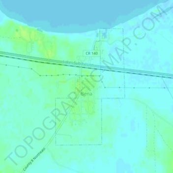
Name: Bena topographic map, elevation, terrain.
Location: Bena, Cass County, Minnesota, United States (47.33264 -94.21457 47.35086 -94.19861)
Average elevation: 1,306 ft
Minimum elevation: 1,296 ft
Maximum elevation: 1,335 ft
Cass County trails, hiking, mountain biking, running and outdoor activities