
Make a donation
Gear up for your next adventure:
As an Amazon Associate, this site earns from qualifying purchases at no extra cost to you.
Tian Shan topographic map
Click on the map to display elevation.
Make a donation
Gear up for your next adventure:
As an Amazon Associate, this site earns from qualifying purchases at no extra cost to you.
Tian Shan
Continuous permafrost is typically found in the Tian Shan starting at the elevation of about 3,500-3,700 m above the sea level. Discontinuous alpine permafrost usually occurs down to 2,700-3,300 m, but in certain locations, due to the peculiarity of the aspect and the microclimate, it can be found at elevations as low as 2,000 m.
Make a donation
Gear up for your next adventure:
As an Amazon Associate, this site earns from qualifying purchases at no extra cost to you.
About this map
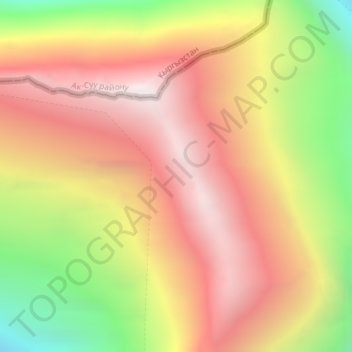
Name: Tian Shan topographic map, elevation, terrain.
Location: Tian Shan, Wensu County, Aksu Prefecture, Xinjiang, China (42.03089 80.20056 42.03099 80.20066)
Average elevation: 20,000 ft
Minimum elevation: 16,929 ft
Maximum elevation: 22,277 ft
Make a donation
Gear up for your next adventure:
As an Amazon Associate, this site earns from qualifying purchases at no extra cost to you.