Geolocate

Waverveen topographic map

Click on the map to display elevation.

About this map

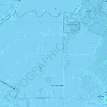
Name: Waverveen topographic map, elevation, terrain.

Location: Waverveen, De Ronde Venen, Utrecht, Netherlands (52.21641 4.85653 52.25372 4.93204)

Average elevation: -13 ft

Minimum elevation: -26 ft

Maximum elevation: 13 ft

Other topographic maps

Click on a map to view its topography, its elevation and its terrain.

Amersfoortse Berg

Netherlands > Utrecht > Amersfoort

Average elevation: 62 ft

Cabauw

Netherlands > Utrecht

Average elevation: -3 ft

Palestina

Netherlands > Utrecht > Amersfoort

Average elevation: 7 ft

Breedeveen

Netherlands > Utrecht > Leersum

Average elevation: 49 ft

Amerongse Berg

Netherlands > Utrecht > Amerongen

Average elevation: 112 ft

Eembrugge

Netherlands > Utrecht > Baarn

Average elevation: 3 ft

Graaf

Netherlands > Utrecht > Lopik

Average elevation: 0 ft

Gear up for your next adventure:

🪶LED Camping Lantern - Bright lantern for camp lighting
🥤Water Filter Bottle - All‑in‑one filter bottle for safe hydration
📶Satellite Messenger - Communication device off‑grid
👟Trail Running Shoes - Lightweight shoes for trail runners
🕶️Glacier Sunglasses - Side shields to protect eyes from high-altitude snow glare

As an Amazon Associate, this site earns from qualifying purchases at no extra cost to you.