Geolocate

Concord topographic map

Click on the map to display elevation.

About this map

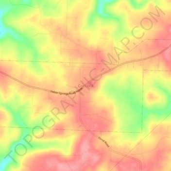
Name: Concord topographic map, elevation, terrain.

Location: Concord, Cleburne County, Arkansas, 72523, United States (35.64369 -91.86764 35.68369 -91.82764)

Average elevation: 978 ft

Minimum elevation: 771 ft

Maximum elevation: 1,086 ft

Cleburne County trails, hiking, mountain biking, running and outdoor activities

Gear up for your next adventure:

🎒Trekking Poles - Sturdy poles for balance and stability on rough terrain
🎒Hydration Pack - Hands‑free water reservoir for long hikes
🧺Microfiber Travel Towels - Compact and fast-drying towels for trail use
📚Navigation Handbooks - Master the art of reading topographic maps and using a compass
📌Outdoor GPS Map App - Apps and devices for digital topographic navigation

As an Amazon Associate, this site earns from qualifying purchases at no extra cost to you.