Geolocate

Ramon Castilla topographic map

Click on the map to display elevation.

About this map

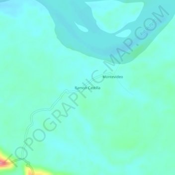
Name: Ramon Castilla topographic map, elevation, terrain.

Location: Ramon Castilla, Raymondi, Atalaya, Ucayali, Perú (-10.64441 -73.93418 -10.60441 -73.89418)

Average elevation: 659 ft

Minimum elevation: 610 ft

Maximum elevation: 928 ft

Gear up for your next adventure:

🛰️Satellite Messengers - Emergency SOS and two-way messaging for off-grid adventures
🪶Trail Camera - Capture wildlife on your hikes
🧤Tactile Hiking Gloves - Keep hands warm while operating GPS and smartphone screens
🔥Plasma Lighters - Windproof lighters that work in any weather condition
🥤Water Filter Bottle - All‑in‑one filter bottle for safe hydration

As an Amazon Associate, this site earns from qualifying purchases at no extra cost to you.