
Lac du Rat Musqué topographic map
Interactive map
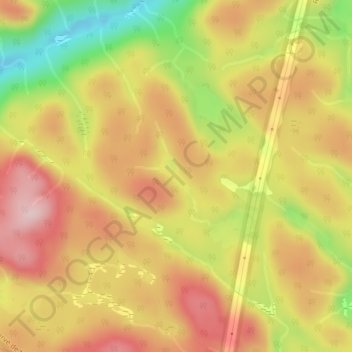
Click on the map to display elevation.
About this map
Name: Lac du Rat Musqué topographic map, elevation, terrain.
Average elevation: 1,178 ft
Minimum elevation: 702 ft
Maximum elevation: 1,516 ft
Other topographic maps
Click on a map to view its topography, its elevation and its terrain.
Lac Hippolyte
Canada > Québec > Sacré-Coeur
Lac Hippolyte, Chemin du Lac-de-l'Écluse, Sacré-Coeur, La Haute-Côte-Nord, Côte-Nord, Québec, G0T 1Y0, Canada
Average elevation: 630 ft