Geolocate

Chittoe topographic map

Click on the map to display elevation.

About this map

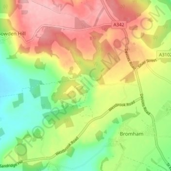
Name: Chittoe topographic map, elevation, terrain.

Location: Chittoe, Bromham, Wiltshire, England, SN15 2EN, United Kingdom (51.37883 -2.08633 51.41883 -2.04633)

Average elevation: 371 ft

Minimum elevation: 148 ft

Maximum elevation: 604 ft

Other topographic maps

Click on a map to view its topography, its elevation and its terrain.

Bromham

United Kingdom > England > Wiltshire > Bromham

Average elevation: 328 ft

Gear up for your next adventure:

📚Navigation Handbooks - Master the art of reading topographic maps and using a compass
📚USA Hiking Guide Books - Top trail guides and map books
🧯Portable Fire Pit - Compact fire pit for camping spots
😴Insulated Sleeping Pads - Compact and warm pads for high-elevation camping
🪶Camping Sleeping Pad - Comfortable sleeping pad for backpacking

As an Amazon Associate, this site earns from qualifying purchases at no extra cost to you.