Geolocate

Sector 40 topographic map

Click on the map to display elevation.

About this map

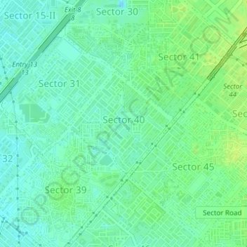
Name: Sector 40 topographic map, elevation, terrain.

Location: Sector 40, Gurgaon, Gurugram District, Haryana, India (28.44387 77.05086 28.45531 77.06405)

Average elevation: 761 ft

Minimum elevation: 738 ft

Maximum elevation: 787 ft

Gear up for your next adventure:

🔊Portable Camp Speaker - Music and alerts at camp
🔪Outdoor Multitools - Essential survival tools for gear repair and field use
🎁Geography Themed Gifts - Unique gift ideas for map lovers and geography enthusiasts
🧯Emergency Survival Kit - All‑in‑one survival essentials for the backcountry
🧣Hiking Neck Gaiter - Multi‑use neck protection for outdoor weather

As an Amazon Associate, this site earns from qualifying purchases at no extra cost to you.