
Make a donation
Gear up for your next adventure:
As an Amazon Associate, this site earns from qualifying purchases at no extra cost to you.
Laurel Hill topographic map
Click on the map to display elevation.
Make a donation
Gear up for your next adventure:
As an Amazon Associate, this site earns from qualifying purchases at no extra cost to you.
About this map
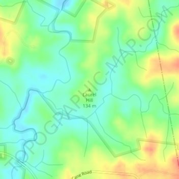
Name: Laurel Hill topographic map, elevation, terrain.
Location: Laurel Hill, McCormick County, South Carolina, United States (34.02563 -82.33212 34.02573 -82.33202)
Average elevation: 407 ft
Minimum elevation: 341 ft
Maximum elevation: 502 ft
McCormick County trails, hiking, mountain biking, running and outdoor activities
Make a donation
Gear up for your next adventure:
As an Amazon Associate, this site earns from qualifying purchases at no extra cost to you.
Other topographic maps
Click on a map to view its topography, its elevation and its terrain.
Hickory Knob State Park
United States > South Carolina > McCormick County > McCormick
Average elevation: 367 ft