
Otterburne topographic map
Interactive map
Click on the map to display elevation.
About this map
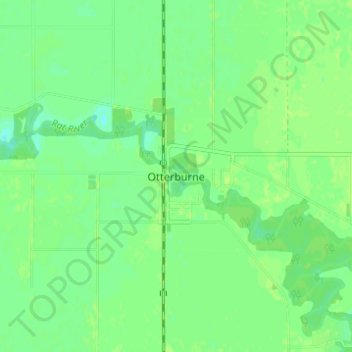
Name: Otterburne topographic map, elevation, terrain.
Location: Otterburne, Manitoba, R0A 1G0, Canada (49.48001 -97.07001 49.52001 -97.03001)
Average elevation: 778 ft
Minimum elevation: 755 ft
Maximum elevation: 787 ft