
Dorkorta topographic map
Click on the map to display elevation.
About this map
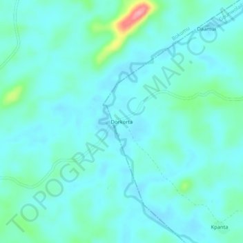
Name: Dorkorta topographic map, elevation, terrain.
Location: Dorkorta, Gounwolaila, Gbarpolu County, Liberia (7.17723 -10.13392 7.21723 -10.09392)
Average elevation: 633 ft
Minimum elevation: 574 ft
Maximum elevation: 932 ft