
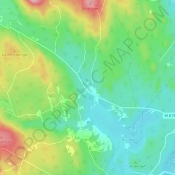
Kåsen topographic map
Interactive map
Click on the map to display elevation.
About this map
Name: Kåsen topographic map, elevation, terrain.
Location: Kåsen, Ludvika kommun, Dalecarlia, Region Svealand, Sweden (60.06230 15.13187 60.10230 15.17187)
Average elevation: 741 ft
Minimum elevation: 577 ft
Maximum elevation: 1,099 ft