Sweden topographic maps
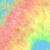
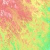
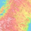
Click on a map to view its topography, its elevation and its terrain.
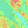
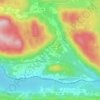
Sarek
Sarek National Park is the most mountainous region in Sweden and it is the part of the country that mostly resembles an alpine countryside. Within the park are 19 summits higher than 1,900 m (6,200 ft), the most noted being the second highest summit in Sweden after the Kebnekaise – the Sarektjåkkå with a…
Average elevation: 3,261 ft
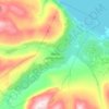
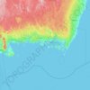
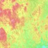
Abisko nationalpark
Permafrost is common in the national park, though permafrost at lower elevations is disappearing because of global warming and increased snowfall.
Average elevation: 2,428 ft
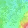
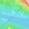
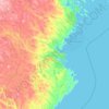
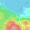
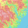
Abisko
Permafrost is common around the village albeit this low altitude permafrost is disappearing because of global warming and increased snowfall.
Average elevation: 1,296 ft
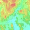
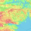
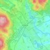
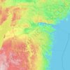
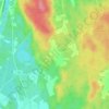
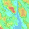
Kopparberg
Although Kopparberg is slightly further south, it is located at a slightly higher elevation 6 kilometres (3.7 mi) south-east, rendering likely values very similar. Winter highs usually average just below freezing, and frosts are frequent from October through April. Summers are very tempered, compared to both…
Average elevation: 643 ft