Geolocate

Rancas topographic map

Click on the map to display elevation.

About this map

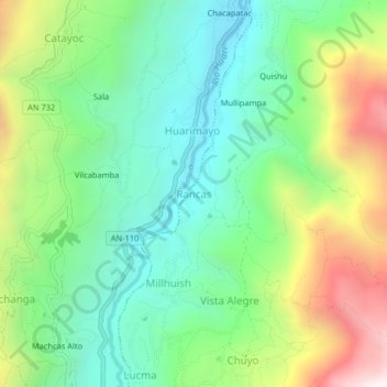
Name: Rancas topographic map, elevation, terrain.

Location: Rancas, San Marcos, Province of Huari, Ancash, Peru (-9.57463 -77.18728 -9.53463 -77.14728)

Average elevation: 11,155 ft

Minimum elevation: 9,721 ft

Maximum elevation: 13,934 ft

Gear up for your next adventure:

🥘Titanium Cookware - Durable, featherlight pots and pans for backpacking
🚗GPS Dash Cams - Record your scenic drives through mountain passes and canyons
🧭Orienteering Set - Complete compass and map reading kit
🪶Paracord Bracelet - Survival bracelet with built‑in tools
🪶Camping Sleeping Pad - Comfortable sleeping pad for backpacking

As an Amazon Associate, this site earns from qualifying purchases at no extra cost to you.