
Vodice topographic map
Interactive map
Click on the map to display elevation.
About this map
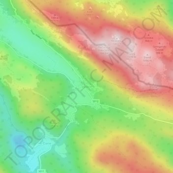
Name: Vodice topographic map, elevation, terrain.
Location: Vodice, Općina Lanišće, Istria County, Croatia (45.46406 14.03350 45.50406 14.07350)
Average elevation: 2,569 ft
Minimum elevation: 1,696 ft
Maximum elevation: 3,488 ft