Geolocate

Lachin topographic map

Interactive map

Click on the map to display elevation.

About this map

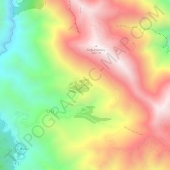
Name: Lachin topographic map, elevation, terrain.

Location: Lachin, Kalbajar District, East Zangezur, Azerbaijan (40.10750 46.23361 40.14750 46.27361)

Average elevation: 5,656 ft

Minimum elevation: 3,780 ft

Maximum elevation: 7,428 ft

Other topographic maps

Click on a map to view its topography, its elevation and its terrain.

Malibay

Azerbaijan > East Zangezur

Malibay, Lachin District, East Zangezur, Azerbaijan

Average elevation: 3,983 ft

Kalbajar

Azerbaijan > East Zangezur

Kalbajar, Kalbajar District, East Zangezur, Azerbaijan

Average elevation: 5,377 ft

Zabukh

Azerbaijan > East Zangezur

Zabukh, Lachin District, East Zangezur, Azerbaijan

Average elevation: 3,173 ft

East Zangezur

Azerbaijan > East Zangezur

East Zangezur, Azerbaijan

Average elevation: 4,350 ft

Hacılar

Azerbaijan > East Zangezur

Hacılar, Lachin District, East Zangezur, Azerbaijan

Average elevation: 4,751 ft