
壶口镇 topographic map
Interactive map
Click on the map to display elevation.
About this map
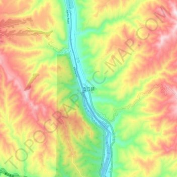
Name: 壶口镇 topographic map, elevation, terrain.
Location: 壶口镇, 吉县, 临汾市, 山西省, 中国 (36.07423 110.41407 36.15423 110.49407)
Average elevation: 2,349 ft
Minimum elevation: 1,362 ft
Maximum elevation: 3,343 ft
Other topographic maps
Click on a map to view its topography, its elevation and its terrain.