
中垛乡 topographic map
Interactive map
Click on the map to display elevation.
About this map
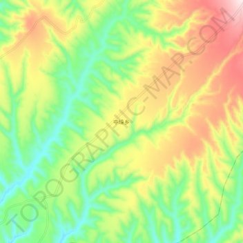
Name: 中垛乡 topographic map, elevation, terrain.
Location: 中垛乡, 吉县, 临汾市, 山西省, 中国 (35.95350 110.64900 36.03350 110.72900)
Average elevation: 3,245 ft
Minimum elevation: 2,621 ft
Maximum elevation: 4,114 ft
Other topographic maps
Click on a map to view its topography, its elevation and its terrain.