
Thank you for supporting this site ❤️
Make a donation
Make a donation
Gear up for your next adventure:
As an Amazon Associate, this site earns from qualifying purchases at no extra cost to you.
Busumba-Busuleta topographic map
Click on the map to display elevation.
Thank you for supporting this site ❤️
Make a donation
Make a donation
Gear up for your next adventure:
As an Amazon Associate, this site earns from qualifying purchases at no extra cost to you.
About this map
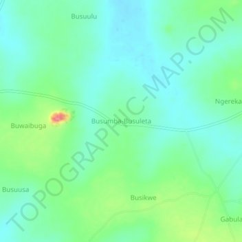
Name: Busumba-Busuleta topographic map, elevation, terrain.
Location: Busumba-Busuleta, Buyende, Eastern Region, Uganda (1.10816 33.28454 1.14816 33.32454)
Average elevation: 3,504 ft
Minimum elevation: 3,425 ft
Maximum elevation: 3,720 ft
Thank you for supporting this site ❤️
Make a donation
Make a donation
Gear up for your next adventure:
As an Amazon Associate, this site earns from qualifying purchases at no extra cost to you.