Geolocate

Mogotes topographic map

Click on the map to display elevation.

About this map

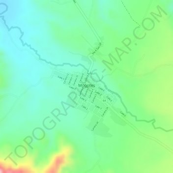
Name: Mogotes topographic map, elevation, terrain.

Location: Mogotes, Guanentá, Santander, Colombia (6.46885 -72.97638 6.48467 -72.96418)

Average elevation: 5,545 ft

Minimum elevation: 5,348 ft

Maximum elevation: 5,971 ft

Gear up for your next adventure:

🪶Camp Gear Gift Set - Perfect gift bundle for outdoor fans
🧢Sun Protection Hats - Wide-brimmed and UPF-rated hats for high-altitude sun safety
🧣Hiking Neck Gaiter - Multi‑use neck protection for outdoor weather
🔭Compact Binoculars - HD vision for scouting terrain and identifying distant landmarks
🪶Wildlife Field Guides - Learn animal tracking and species ID

As an Amazon Associate, this site earns from qualifying purchases at no extra cost to you.