
Casale sul Sile topographic map
Interactive map
Click on the map to display elevation.
About this map
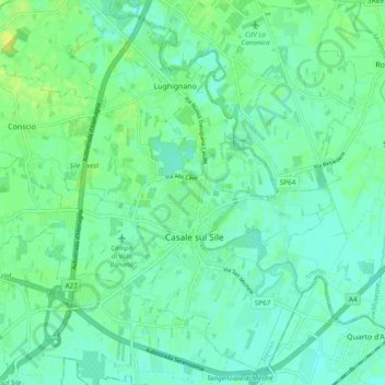
Name: Casale sul Sile topographic map, elevation, terrain.
Location: Casale sul Sile, Treviso, Veneto, 31032, Italy (45.57389 12.26419 45.63701 12.36020)
Average elevation: 20 ft
Minimum elevation: 0 ft
Maximum elevation: 52 ft
Other topographic maps
Click on a map to view its topography, its elevation and its terrain.