
Thank you for supporting this site ❤️
Make a donation
Make a donation
Gear up for your next adventure:
As an Amazon Associate, this site earns from qualifying purchases at no extra cost to you.
Hanumanpura topographic map
Click on the map to display elevation.
Thank you for supporting this site ❤️
Make a donation
Make a donation
Gear up for your next adventure:
As an Amazon Associate, this site earns from qualifying purchases at no extra cost to you.
About this map
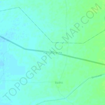
Name: Hanumanpura topographic map, elevation, terrain.
Location: Hanumanpura, Patan Taluka, Patan District, Gujarat, India (23.84057 72.02444 23.88057 72.06444)
Average elevation: 230 ft
Minimum elevation: 217 ft
Maximum elevation: 249 ft
Thank you for supporting this site ❤️
Make a donation
Make a donation
Gear up for your next adventure:
As an Amazon Associate, this site earns from qualifying purchases at no extra cost to you.