
Tomari topographic map
Interactive map
Click on the map to display elevation.
About this map
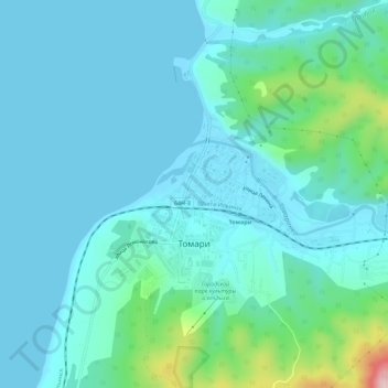
Name: Tomari topographic map, elevation, terrain.
Average elevation: 174 ft
Minimum elevation: -3 ft
Maximum elevation: 1,188 ft
Other topographic maps
Click on a map to view its topography, its elevation and its terrain.
Дербент
Russia > Sakhalin Oblast > Tomarinsky District
Дербент, Tomarinsky District, Sakhalin Oblast, Far Eastern Federal District, Russia
Average elevation: 1,217 ft