
Bodana topographic map
Interactive map
Click on the map to display elevation.
About this map
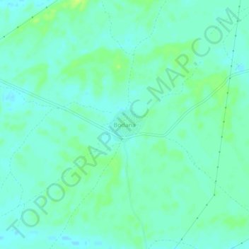
Name: Bodana topographic map, elevation, terrain.
Location: Bodana, Pokaran Tehsil, Jaisalmer District, Rajasthan, India (27.62500 72.10606 27.66500 72.14606)
Average elevation: 561 ft
Minimum elevation: 541 ft
Maximum elevation: 591 ft
Other topographic maps
Click on a map to view its topography, its elevation and its terrain.
Gomat
India > Rajasthan > Pokaran Tehsil
Gomat, Pokaran Tehsil, Jaisalmer District, Rajasthan, India
Average elevation: 807 ft