Geolocate

Lelystad topographic map

Click on the map to display elevation.

About this map
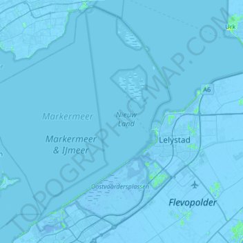
Name: Lelystad topographic map, elevation, terrain.

Location: Lelystad, Flevoland, Netherlands (52.38438 5.07462 52.69284 5.60587)

Average elevation: -3 ft

Minimum elevation: -30 ft

Maximum elevation: 33 ft

Gear up for your next adventure:

🎁Geography Themed Gifts - Unique gift ideas for map lovers and geography enthusiasts
⛺Backpacking Tents - Weight-optimized shelters for multi-day topographic surveys
📡Handheld GPS Device - Reliable handheld GPS for outdoor navigation
📌Outdoor GPS Map App - Apps and devices for digital topographic navigation
👟Men's Trail Runners - Lightweight footwear for fast-paced exploration and light hiking

As an Amazon Associate, this site earns from qualifying purchases at no extra cost to you.