
Lac-Wallace topographic map
Interactive map
Click on the map to display elevation.
About this map
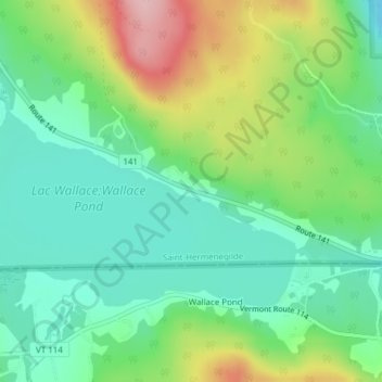
Name: Lac-Wallace topographic map, elevation, terrain.
Average elevation: 1,417 ft
Minimum elevation: 1,207 ft
Maximum elevation: 1,831 ft
Other topographic maps
Click on a map to view its topography, its elevation and its terrain.
Mont Hereford
Canada > Québec > Saint-Herménégilde
Mont Hereford, Saint-Herménégilde, Coaticook (MRC), Estrie, Québec, Canada
Average elevation: 2,218 ft