
Lansdowne topographic map
Click on the map to display elevation.
Lansdowne
Lansdowne is a quaint hill station in the Pauri Garhwal district of Uttarakhand, India. Lodged in the picturesque surroundings of the Himalayan ranges, it lies at an elevation of approximately 1,700 meters (5,577 feet) above sea level. The town is about 45 kilometers (28 miles) from the district headquarters, Pauri, and approximately 250 kilometers (155 miles) from the state capital, Dehradun
About this map
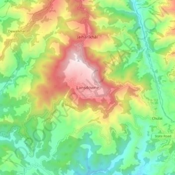
Name: Lansdowne topographic map, elevation, terrain.
Location: Lansdowne, Pauri Garhwal, Uttarakhand, 246193, India (29.79784 78.64176 29.87784 78.72176)
Average elevation: 3,740 ft
Minimum elevation: 2,251 ft
Maximum elevation: 6,017 ft