Geolocate

Collpa topographic map

Click on the map to display elevation.

About this map

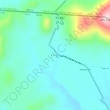
Name: Collpa topographic map, elevation, terrain.

Location: Collpa, Tarata, Tacna, Perú (-17.32516 -69.61549 -17.28516 -69.57549)

Average elevation: 13,973 ft

Minimum elevation: 13,684 ft

Maximum elevation: 15,052 ft

Gear up for your next adventure:

👟Men's Trail Runners - Lightweight footwear for fast-paced exploration and light hiking
🧭Orienteering Set - Complete compass and map reading kit
🩳Quick‑Dry Hiking Shorts - Comfortable and quick‑dry shorts for summer hiking
🧼Biodegradable Camping Soap - Eco‑friendly soap for outdoor hygiene
🪓Survival Multi‑Tool - Versatile tool for camp and trail tasks

As an Amazon Associate, this site earns from qualifying purchases at no extra cost to you.