Geolocate

Jampali topographic map

Click on the map to display elevation.

About this map

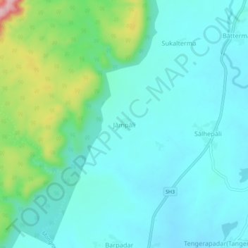
Name: Jampali topographic map, elevation, terrain.

Location: Jampali, Melchhamunda, Bargarh, Odisha, India (21.10824 83.21839 21.14824 83.25839)

Average elevation: 810 ft

Minimum elevation: 669 ft

Maximum elevation: 1,352 ft

Gear up for your next adventure:

⛑️Personal Locator Beacon - Safety beacon for emergencies
🪶Paracord Bracelet - Survival bracelet with built‑in tools
Camping Coffee Makers - Enjoy premium coffee at the summit or campsite
🎒Trail Energy Bars - High‑calorie bars for hiking energy
🌐World Map Poster - Decorative world maps with topographic info

As an Amazon Associate, this site earns from qualifying purchases at no extra cost to you.