
Gainesville topographic map
Click on the map to display elevation.
About this map
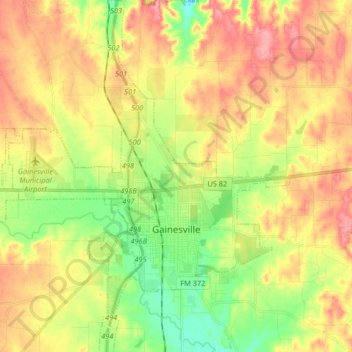
Name: Gainesville topographic map, elevation, terrain.
Location: Gainesville, Cooke County, Texas, United States (33.57782 -97.21160 33.71470 -97.08035)
Average elevation: 814 ft
Minimum elevation: 659 ft
Maximum elevation: 968 ft
Cooke County trails, hiking, mountain biking, running and outdoor activities
Other topographic maps
Click on a map to view its topography, its elevation and its terrain.