Geolocate

Raven Cliff topographic map

Click on the map to display elevation.

About this map

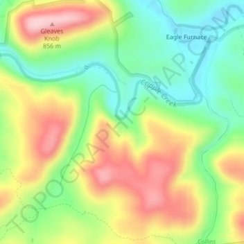
Name: Raven Cliff topographic map, elevation, terrain.

Location: Raven Cliff, Wythe County, Virginia, 24322, United States (36.83035 -81.05736 36.83045 -81.05726)

Average elevation: 2,392 ft

Minimum elevation: 2,073 ft

Maximum elevation: 2,792 ft

Wythe County trails, hiking, mountain biking, running and outdoor activities

Other topographic maps

Click on a map to view its topography, its elevation and its terrain.

Rural Retreat

United States > Virginia > Wythe County

Average elevation: 2,549 ft

Fort Chiswell

United States > Virginia > Wythe County > Fort Chiswell

Average elevation: 2,211 ft

Gear up for your next adventure:

🧭Compass with Lanyard - Easy‑carry compass for navigation
🏕️Tent Footprint - Protect your tent base from wear
🔥Fast-Boil Camping Stoves - Efficient cooking systems for quick trail meals
🔭Compact Binoculars - HD vision for scouting terrain and identifying distant landmarks
🪶LED Camping Lantern - Bright lantern for camp lighting

As an Amazon Associate, this site earns from qualifying purchases at no extra cost to you.