Geolocate

Palala topographic map

Click on the map to display elevation.

About this map

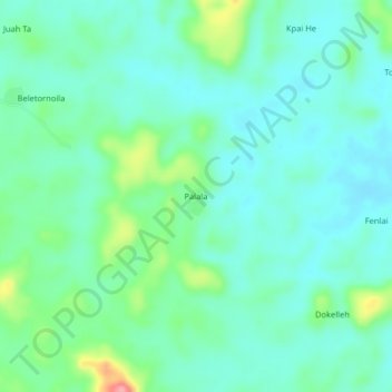
Name: Palala topographic map, elevation, terrain.

Location: Palala, Yeallequelleh, Bong County, Liberia (6.79484 -9.76592 6.83484 -9.72592)

Average elevation: 768 ft

Minimum elevation: 686 ft

Maximum elevation: 1,037 ft

Gear up for your next adventure:

🧥Men's Rain Shells - Premium waterproof and breathable jackets for mountain weather
🦶Carbon Trekking Poles - Reduce knee impact on steep descents with ultra-light poles
🚑Emergency Bivvies - Heat-reflective sleeping bags for survival situations
🛌Ultralight Sleeping Bags - Compact down bags for cold nights in the wilderness
👟Trail Running Shoes - Lightweight shoes for trail runners

As an Amazon Associate, this site earns from qualifying purchases at no extra cost to you.