
Pederstrup topographic map
Interactive map
Click on the map to display elevation.
About this map
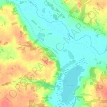
Name: Pederstrup topographic map, elevation, terrain.
Location: Pederstrup, Viborg Municipality, Central Denmark Region, Denmark (56.52737 9.50324 56.56737 9.54324)
Average elevation: 72 ft
Minimum elevation: 0 ft
Maximum elevation: 177 ft
Other topographic maps
Click on a map to view its topography, its elevation and its terrain.
Pederstrup
Denmark > Central Denmark Region > Pederstrup
Pederstrup, Aarhus Municipality, Central Denmark Region, 8355, Denmark
Average elevation: 210 ft