Geolocate

Bayugan 2 topographic map

Click on the map to display elevation.

About this map

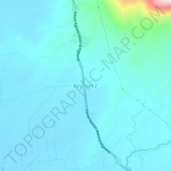
Name: Bayugan 2 topographic map, elevation, terrain.

Location: Bayugan 2, San Francisco, Agusan del Sur, Caraga, Philippines (8.43213 125.95000 8.47213 125.99000)

Average elevation: 213 ft

Minimum elevation: 62 ft

Maximum elevation: 1,634 ft

Gear up for your next adventure:

🧼Biodegradable Camping Soap - Eco‑friendly soap for outdoor hygiene
🪶Trail Camera - Capture wildlife on your hikes
📚Navigation Handbooks - Master the art of reading topographic maps and using a compass
🎒Day Hiking Backpack - Lightweight backpack perfect for day trips and outdoor adventures
🪑Ultralight Camp Chairs - Portable seating for resting after a long day of mapping

As an Amazon Associate, this site earns from qualifying purchases at no extra cost to you.