
Urbana topographic map
Interactive map
Click on the map to display elevation.
About this map
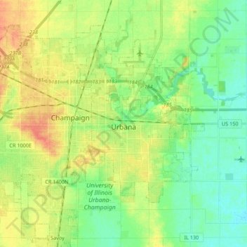
Name: Urbana topographic map, elevation, terrain.
Location: Urbana, Champaign County, Illinois, United States (40.07287 -88.23292 40.15734 -88.15306)
Average elevation: 732 ft
Minimum elevation: 679 ft
Maximum elevation: 804 ft
Champaign County trails, hiking, mountain biking, running and outdoor activities
Other topographic maps
Click on a map to view its topography, its elevation and its terrain.