
勐戛 topographic map
Interactive map
Click on the map to display elevation.
About this map
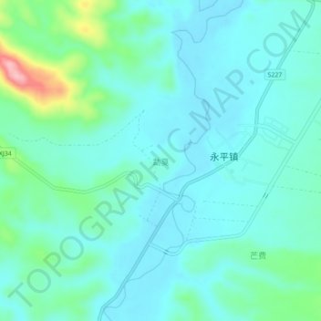
Name: 勐戛 topographic map, elevation, terrain.
Location: 勐戛, 景谷傣族彝族自治县, 普洱市, 云南省, 665000, 中国 (23.39807 100.36777 23.43807 100.40777)
Average elevation: 3,576 ft
Minimum elevation: 3,481 ft
Maximum elevation: 3,993 ft
Other topographic maps
Click on a map to view its topography, its elevation and its terrain.