
勐乃 topographic map
Interactive map
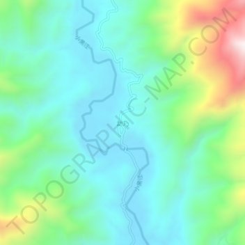
Click on the map to display elevation.
About this map
Name: 勐乃 topographic map, elevation, terrain.
Location: 勐乃, 景谷傣族彝族自治县, 普洱市, 云南省, 665000, 中国 (23.39218 100.92552 23.43218 100.96552)
Average elevation: 3,855 ft
Minimum elevation: 3,196 ft
Maximum elevation: 5,794 ft
Other topographic maps
Click on a map to view its topography, its elevation and its terrain.