
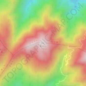
黄柏山 topographic map
Interactive map
Click on the map to display elevation.
About this map
Name: 黄柏山 topographic map, elevation, terrain.
Location: 黄柏山, 宣城市, 安徽省, 中国 (30.12454 118.36482 30.12464 118.36492)
Average elevation: 2,884 ft
Minimum elevation: 1,470 ft
Maximum elevation: 4,065 ft
Other topographic maps
Click on a map to view its topography, its elevation and its terrain.