Geolocate

Hythe topographic map

Click on the map to display elevation.

About this map

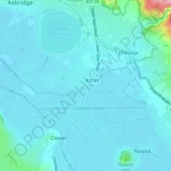
Name: Hythe topographic map, elevation, terrain.

Location: Hythe, Cheddar, Somerset, England, BS27 3EH, United Kingdom (51.24761 -2.81289 51.28761 -2.77289)

Average elevation: 62 ft

Minimum elevation: 10 ft

Maximum elevation: 679 ft

Gear up for your next adventure:

🥾Women's Hiking Boots - Top-rated trail boots with ankle support and superior grip
🔥Fast-Boil Camping Stoves - Efficient cooking systems for quick trail meals
Backpacking Tent - Lightweight and durable tent for multi‑day hikes
🛏️Cold Weather Sleeping Bag - Warm sleeping bag for cold conditions
🪶Survival Guide Book - Expert advice for emergency preparedness

As an Amazon Associate, this site earns from qualifying purchases at no extra cost to you.