Geolocate

65606 topographic map

Click on the map to display elevation.

About this map

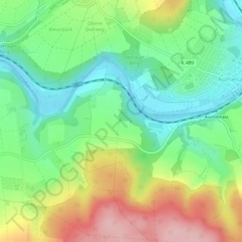
Name: 65606 topographic map, elevation, terrain.

Location: 65606, Villmar, Landkreis Limburg-Weilburg, Hesse, Germany (50.39904 8.23240 50.39914 8.23250)

Average elevation: 607 ft

Minimum elevation: 384 ft

Maximum elevation: 955 ft

Gear up for your next adventure:

🕶️GPS Smartphone Mount - Secure mount for phone navigation
🔌USB Car Charger - Car charger for on‑the‑go power needs
🪶Thermal Camp Blanket - Extra warmth for cold nights
🖼️Topo Map Wall Art - Decorative topographic prints of famous peaks and regions
🦶Carbon Trekking Poles - Reduce knee impact on steep descents with ultra-light poles

As an Amazon Associate, this site earns from qualifying purchases at no extra cost to you.