Geolocate

Velma topographic map

Click on the map to display elevation.

About this map

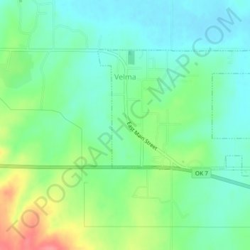
Name: Velma topographic map, elevation, terrain.

Location: Velma, Stephens County, Oklahoma, 73491, United States (34.44500 -97.67803 34.46342 -97.64103)

Average elevation: 1,050 ft

Minimum elevation: 968 ft

Maximum elevation: 1,230 ft

Stephens County trails, hiking, mountain biking, running and outdoor activities

Other topographic maps

Click on a map to view its topography, its elevation and its terrain.

Countyline

United States > Oklahoma > Stephens County

Average elevation: 1,017 ft

Gear up for your next adventure:

🦶Carbon Trekking Poles - Reduce knee impact on steep descents with ultra-light poles
📦Gear Storage Bags - Organize and protect outdoor equipment
🪶Paracord Bracelet - Survival bracelet with built‑in tools
🪶Camping Sleeping Pad - Comfortable sleeping pad for backpacking
📖Nature Tracking Books - Learn to track wildlife and terrain

As an Amazon Associate, this site earns from qualifying purchases at no extra cost to you.