
al maadi topographic map
Interactive map
Click on the map to display elevation.
About this map
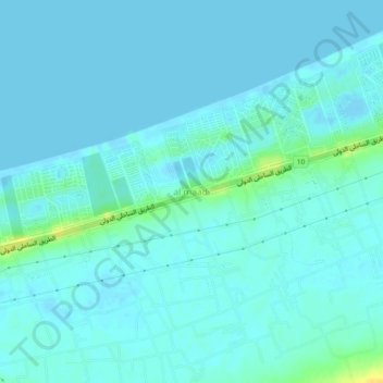
Name: al maadi topographic map, elevation, terrain.
Location: al maadi, Matruh, Egypt (30.81434 29.21029 30.85434 29.25029)
Average elevation: 13 ft
Minimum elevation: -16 ft
Maximum elevation: 79 ft
Other topographic maps
Click on a map to view its topography, its elevation and its terrain.