
Make a donation
Gear up for your next adventure:
As an Amazon Associate, this site earns from qualifying purchases at no extra cost to you.
Schilde topographic map
Click on the map to display elevation.
Make a donation
Gear up for your next adventure:
As an Amazon Associate, this site earns from qualifying purchases at no extra cost to you.
Schilde
Schilde ligt in de Kempen aan de rand van de Antwerpse agglomeratie. De hoogte bedraagt 7-24 meter. Er zijn uitgestrekte villaverkavelingen die zich in het zuidwesten voortzetten in de wijk Schilde-Bergen. Ten zuiden daarvan vindt men het Albertkanaal. De belangrijkste beek is het Groot Schijn. In de omgeving zijn diverse bossen zoals het Drijhoekbos en enkele kasteeldomeinen.
Make a donation
Gear up for your next adventure:
As an Amazon Associate, this site earns from qualifying purchases at no extra cost to you.
About this map
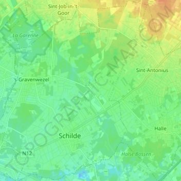
Name: Schilde topographic map, elevation, terrain.
Location: Schilde, Antwerpen, Vlaanderen, België (51.21978 4.54613 51.29565 4.63314)
Average elevation: 39 ft
Minimum elevation: 7 ft
Maximum elevation: 98 ft
Make a donation
Gear up for your next adventure:
As an Amazon Associate, this site earns from qualifying purchases at no extra cost to you.