
Kiharong topographic map
Click on the map to display elevation.
About this map
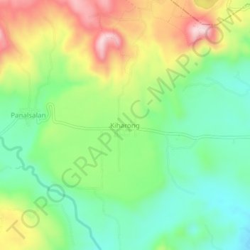
Name: Kiharong topographic map, elevation, terrain.
Location: Kiharong, Maramag, Bukidnon, Northern Mindanao, Philippines (7.83923 124.97277 7.87923 125.01277)
Average elevation: 1,886 ft
Minimum elevation: 1,453 ft
Maximum elevation: 2,566 ft