
城北体育公园 topographic map
Interactive map
Click on the map to display elevation.
About this map
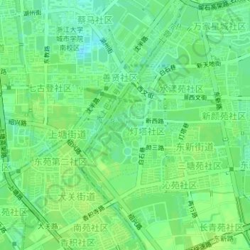
Name: 城北体育公园 topographic map, elevation, terrain.
Location: 城北体育公园, 东新街道, 拱墅区, 杭州市, 浙江省, 中国 (30.31087 120.15404 30.31982 120.16053)
Average elevation: 33 ft
Minimum elevation: 7 ft
Maximum elevation: 43 ft
Other topographic maps
Click on a map to view its topography, its elevation and its terrain.